This accessory function interfaces with GDAL
utilities (sen2r must be interfaced with a runtime GDAL
environment, see check_gdal()).
Python-based utilities are always called from a runtime GDAL;
C-based ones are called using sf::gdal_utils().
Arguments
- util
Character: one among
"info","translate","warp","demprocessing","buildvrt"(C-based),"calc"and"fillnodata"(Python-based). Other utilities were not implemented, since they are not used by sen2r.- source
path of input layer(s); for
calcthis can be more than one.- destination
Path of the output layer.
- options
Character vector with GDAL options.
- quiet
Logical: if TRUE, suppress printing of output for info (this argument is ignored in case package
sysis not installed).- formula
(for
util = "calc") Calculation ingdalnumericsyntax using+,-,/,*, or anynumpyarray functions (i.e.log10()).- processing
Character: processing options for
util = "demprocessing".- colorfilename
Character: name of colour file for
util = "demprocessing"(mandatory ifprocessing="color-relief").
Value
A logical (invisible) indicating success (i.e., TRUE); in case of failure, an error is raised and FALSE is returned (in case of Python-based utilities).
Note
License: GPL 3.0
References
L. Ranghetti, M. Boschetti, F. Nutini, L. Busetto (2020). "sen2r": An R toolbox for automatically downloading and preprocessing Sentinel-2 satellite data. Computers & Geosciences, 139, 104473. doi:10.1016/j.cageo.2020.104473 , URL: https://sen2r.ranghetti.info/.
Examples
# Define product names
examplename <- system.file(
  "extdata/out/S2A2A_20190723_022_Barbellino_BOA_10.tif",
  package = "sen2r"
)

# \donttest{
## gdalinfo
out0 <- gdalUtil("info", examplename, quiet = TRUE)
message(out0)
#> Driver: GTiff/GeoTIFF
#> Files: /tmp/RtmpYYDtly/temp_libpath2b43a87fec8ad7/sen2r/extdata/out/S2A2A_20190723_022_Barbellino_BOA_10.tif
#> Size is 24, 42
#> Coordinate System is:
#> PROJCRS["WGS 84 / UTM zone 32N",
#>     BASEGEOGCRS["WGS 84",
#>         DATUM["World Geodetic System 1984",
#>             ELLIPSOID["WGS 84",6378137,298.257223563,
#>                 LENGTHUNIT["metre",1]]],
#>         PRIMEM["Greenwich",0,
#>             ANGLEUNIT["degree",0.0174532925199433]],
#>         ID["EPSG",4326]],
#>     CONVERSION["UTM zone 32N",
#>         METHOD["Transverse Mercator",
#>             ID["EPSG",9807]],
#>         PARAMETER["Latitude of natural origin",0,
#>             ANGLEUNIT["degree",0.0174532925199433],
#>             ID["EPSG",8801]],
#>         PARAMETER["Longitude of natural origin",9,
#>             ANGLEUNIT["degree",0.0174532925199433],
#>             ID["EPSG",8802]],
#>         PARAMETER["Scale factor at natural origin",0.9996,
#>             SCALEUNIT["unity",1],
#>             ID["EPSG",8805]],
#>         PARAMETER["False easting",500000,
#>             LENGTHUNIT["metre",1],
#>             ID["EPSG",8806]],
#>         PARAMETER["False northing",0,
#>             LENGTHUNIT["metre",1],
#>             ID["EPSG",8807]]],
#>     CS[Cartesian,2],
#>         AXIS["(E)",east,
#>             ORDER[1],
#>             LENGTHUNIT["metre",1]],
#>         AXIS["(N)",north,
#>             ORDER[2],
#>             LENGTHUNIT["metre",1]],
#>     USAGE[
#>         SCOPE["Engineering survey, topographic mapping."],
#>         AREA["Between 6°E and 12°E, northern hemisphere between equator and 84°N, onshore and offshore. Algeria. Austria. Cameroon. Denmark. Equatorial Guinea. France. Gabon. Germany. Italy. Libya. Liechtenstein. Monaco. Netherlands. Niger. Nigeria. Norway. Sao Tome and Principe. Svalbard. Sweden. Switzerland. Tunisia. Vatican City State."],
#>         BBOX[0,6,84,12]],
#>     ID["EPSG",32632]]
#> Data axis to CRS axis mapping: 1,2
#> Origin = (580560.000000000000000,5102120.000000000000000)
#> Pixel Size = (10.000000000000000,-10.000000000000000)
#> Metadata:
#>   AREA_OR_POINT=Area
#> Image Structure Metadata:
#>   COMPRESSION=DEFLATE
#>   INTERLEAVE=PIXEL
#> Corner Coordinates:
#> Upper Left  (  580560.000, 5102120.000) ( 10d 2'30.01"E, 46d 4' 4.47"N)
#> Lower Left  (  580560.000, 5101700.000) ( 10d 2'29.75"E, 46d 3'50.86"N)
#> Upper Right (  580800.000, 5102120.000) ( 10d 2'41.18"E, 46d 4' 4.37"N)
#> Lower Right (  580800.000, 5101700.000) ( 10d 2'40.92"E, 46d 3'50.76"N)
#> Center      (  580680.000, 5101910.000) ( 10d 2'35.47"E, 46d 3'57.61"N)
#> Band 1 Block=24x15 Type=UInt16, ColorInterp=Gray
#>   NoData Value=65535
#> Band 2 Block=24x15 Type=UInt16, ColorInterp=Undefined
#>   NoData Value=65535
#> Band 3 Block=24x15 Type=UInt16, ColorInterp=Undefined
#>   NoData Value=65535
#> Band 4 Block=24x15 Type=UInt16, ColorInterp=Undefined
#>   NoData Value=65535
#> Band 5 Block=24x15 Type=UInt16, ColorInterp=Undefined
#>   NoData Value=65535
#> Band 6 Block=24x15 Type=UInt16, ColorInterp=Undefined
#>   NoData Value=65535
#> Band 7 Block=24x15 Type=UInt16, ColorInterp=Undefined
#>   NoData Value=65535
#> Band 8 Block=24x15 Type=UInt16, ColorInterp=Undefined
#>   NoData Value=65535
#> Band 9 Block=24x15 Type=UInt16, ColorInterp=Undefined
#>   NoData Value=65535
#> Band 10 Block=24x15 Type=UInt16, ColorInterp=Undefined
#>   NoData Value=65535
#> Band 11 Block=24x15 Type=UInt16, ColorInterp=Undefined
#>   NoData Value=65535

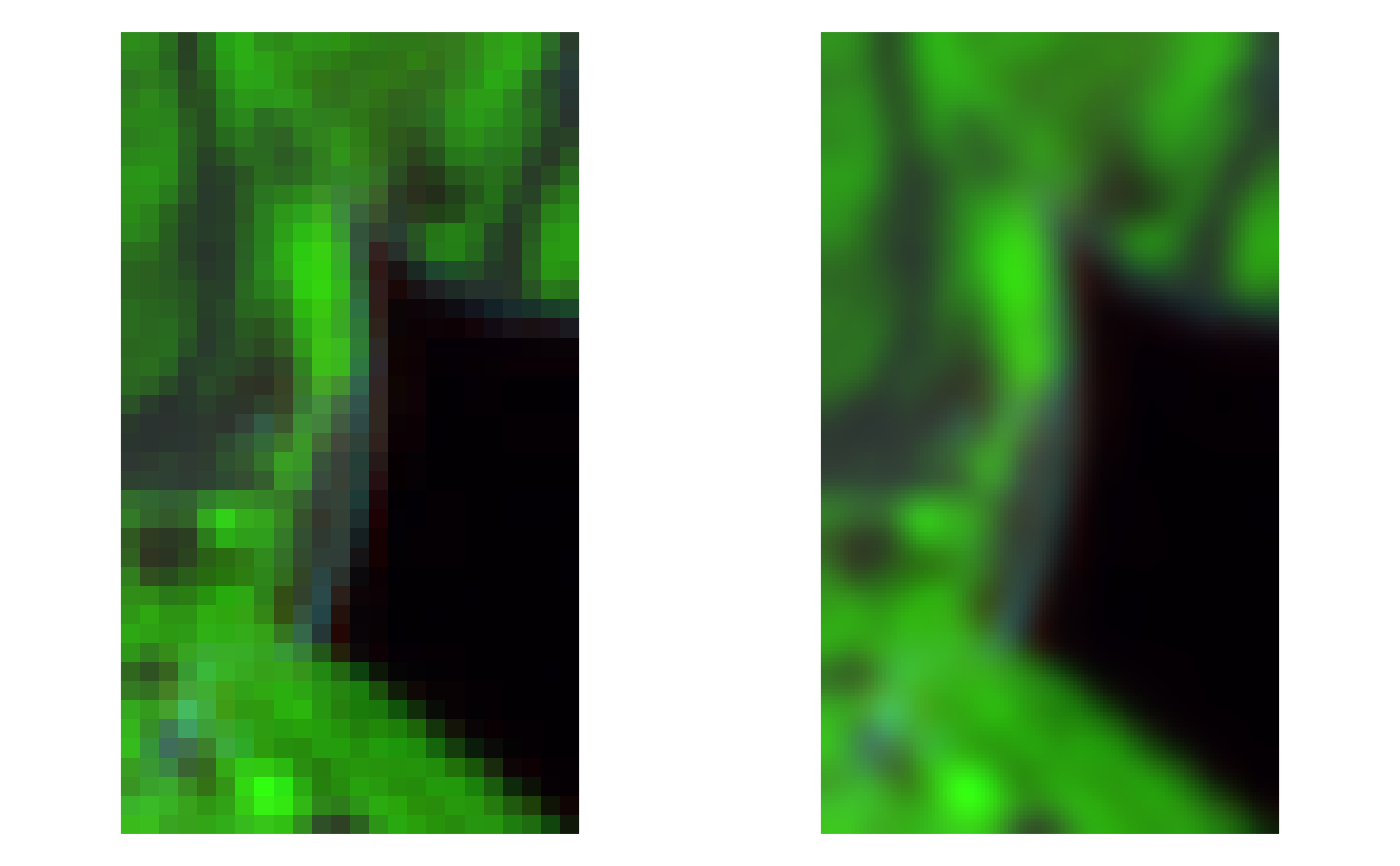
## gdal_translate
outname1 <- tempfile(fileext = ".tif")
gdalUtil(
  "translate",
  examplename, outname1,
  options = c("-tr", "2", "2", "-r", "cubicspline", "-co", "COMPRESS=DEFLATE")
)
#> 0...10...20...30...40...50...60...70...80...90...100 - done.
oldpar <- par(mfrow = c(1,2), mar = rep(0,4))
image(stars::read_stars(examplename), rgb = c(11,8,4), useRaster = TRUE)
image(stars::read_stars(outname1), rgb = c(11,8,4), useRaster = TRUE)


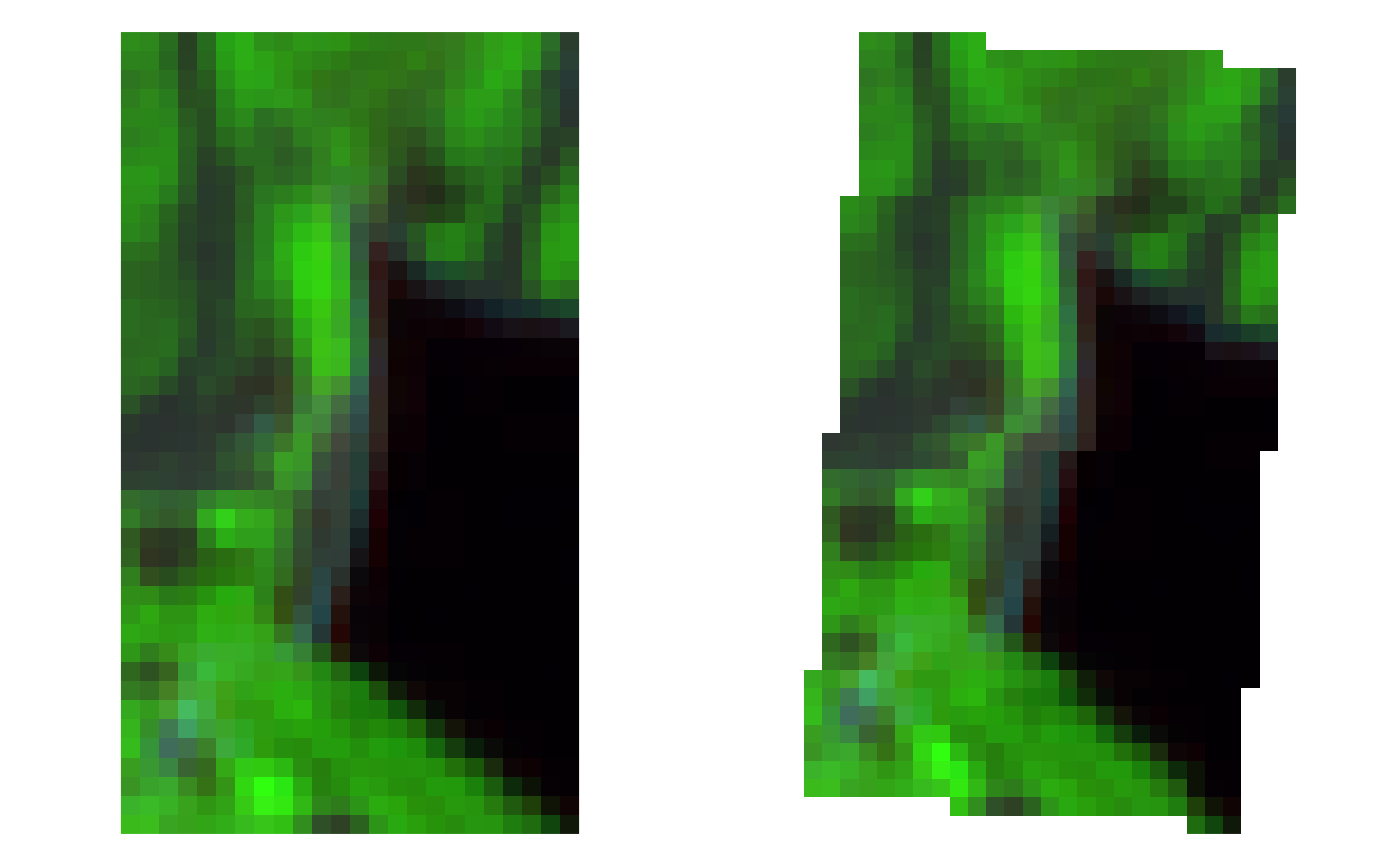
## gdalwarp
outname2 <- tempfile(fileext = ".tif")
gdalUtil(
  "warp",
  examplename, outname2,
  options = c("-t_srs", "EPSG:32633", "-co", "COMPRESS=DEFLATE")
)
#> 0...10...20...30...40...50...60...70...80...90...100 - done.
oldpar <- par(mfrow = c(1,2), mar = rep(0,4))
image(stars::read_stars(examplename), rgb = c(11,8,4), useRaster = TRUE)
image(stars::read_stars(outname2), rgb = c(11,8,4), useRaster = TRUE)

# }

if (FALSE) {
## gdal_calc
outname3 <- tempfile(fileext = ".tif")
ndvirefname <- system.file(
  "extdata/out/S2A2A_20190723_022_Barbellino_NDVI_10.tif",
  package = "sen2r"
)
gdalUtil(
  "calc",
  rep(examplename,2), outname3,
  formula = "10000*(A.astype(float)-B)/(A+B)",
  options = c("--A_band", "8", "--B_band", "4", "--type", "Int16")
)
oldpar <- par(mfrow = c(1,2), mar = rep(0,4))
image(stars::read_stars(ndvirefname), useRaster = TRUE)
image(stars::read_stars(outname3), useRaster = TRUE)
}